The Enigma of Departure: Remembering Singapore’s Railway Lines and Stations
Assistant Professor Lai Chee Kien retraces the various geographies and histories of Singapore’s railway lines and stations.
On 24 May 2010, the prime ministers of Singapore and Malaysia made a joint statement regarding the resolution of the existing railway system’s future in Singapore. The functions of the Singapore terminus were to be transferred fully to its northern Woodlands station in July 2011, and the railway land will be jointly redeveloped over the next few years. The Tanjong Pagar Railway Station was gazetted as a national monument, and the Bukit Timah Station as a conserved building in April 2011. The negotiations leading to these outcomes had been long-drawn over decades, but the decision had also directed public attention to an intertwined history between the two lands, and instantly generated nostalgia for the system’s physical structures.1 It is perhaps timely, at this interim stage, to retrace the various geographies and histories of these lines and stations.
There are three discernible phases of railway history in Singapore: (1) the establishment of the Singapore-Kranji Railway, (2) integration with the railway in Johor and with Keppel Harbour in the south, and (3) the construction of the Jurong Branch Line. The first period took place on Singapore Island, but the latter two were connected to histories of Malaya and Malaysia, respectively. The account requires our memory of the colonial city of Singapore, which was formed along the island’s southeastern shores shortly after British arrival in 1819, between two rivers. Half a century later, areas to the north of Rochor Canal and Bukit Timah Road still comprised primary or secondary forests, and were perceived to be dangerous due to their inhabitation by tigers, etc. and, in some areas, secret societies besides the pepper and gambier plantations. By the mid-19th century, vehicular roads to the east, north and northwest were constructed largely by Indian convict labour to reach the various villages and plantations.
Singapore-Kranji Railway
The first period of Singapore’s railway history refers to the planning and realisation of the Singapore-Kranji Railway by the then colonial government. On 16 April 1900, then Acting Governor Alexander Swettenham “cut the first sod” at the site of the Tank Road station to commence works for the line.2 A year before, the Legislative Council had approved Cecil Clementi Smith’s plan to build a railway through the island. Although the station at Tank Road became the “Singapore terminus”, there were earlier plans to route the line on the other side of Government Hill (Fort Canning) and to commence service at the end of Orchard Road near Dhoby Ghaut, but it was eventually altered. It was probably the high cost of the real estate there that led to the change in the plans.
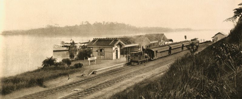
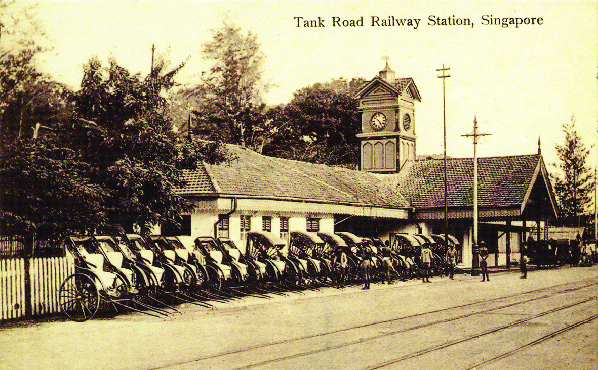
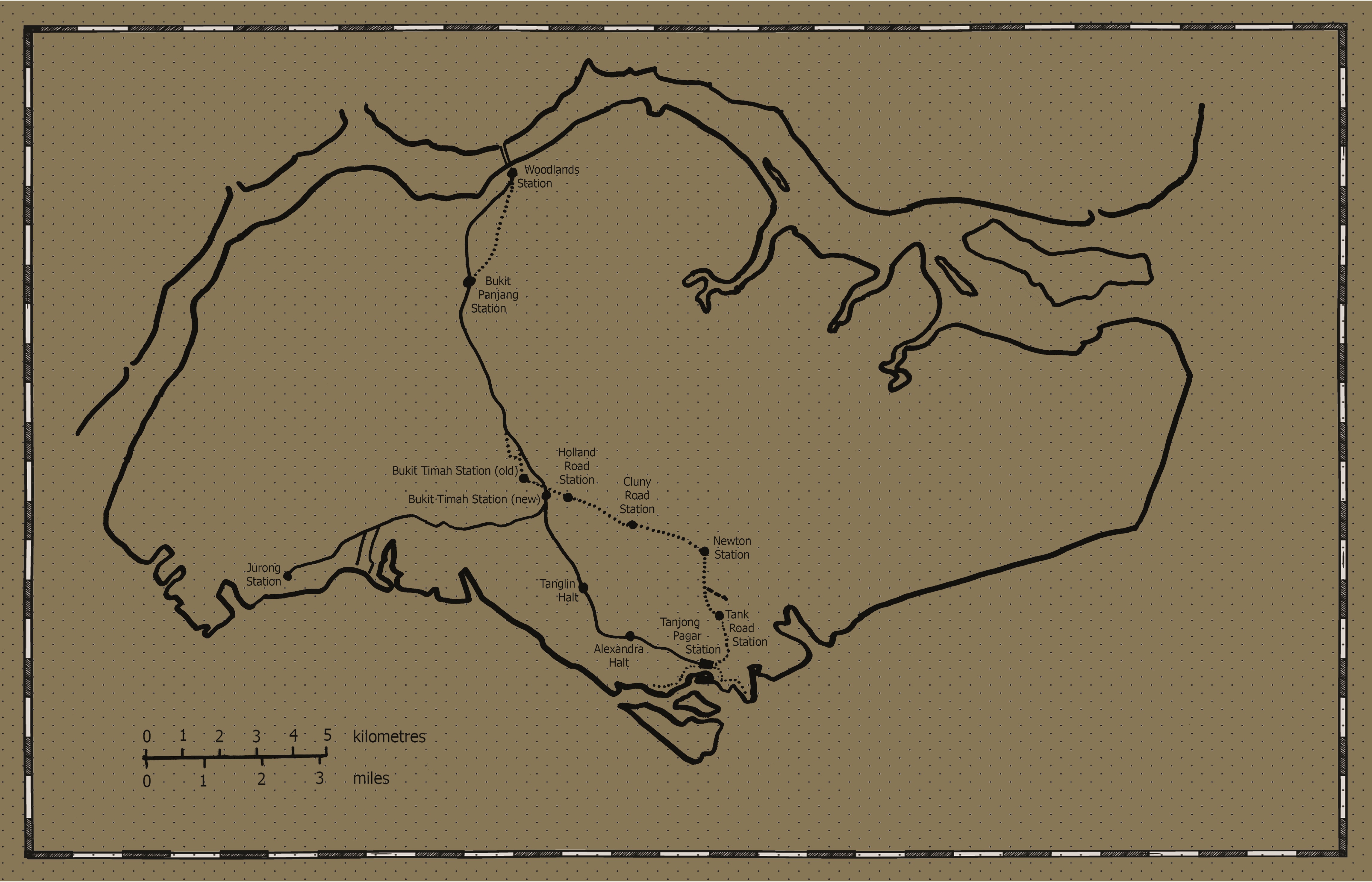
The line was completed by 1 January 1903 and train services connected Singapore Station (Tank Road Station) to Bukit Timah Station. By 10 April the same year, the service was extended to Woodlands Station. A typical journey from Singapore to Woodlands stations took approximately 80 minutes, and service was available from 7 am to 7:40 pm daily.3 Steam ferry service was available from Woodlands Station to Johor and vice versa. From old postcards, the Tank Road Station had a T-shaped plan and was constructed in timber, with double-pitched roofs for each section; at the roof intersection, a clock tower was raised to the heights of neighbouring shophouses. The other stations were of standard design, comprising three short double-roof pitched and rectilinear timber sections spaced apart and aligned perpendicular to the line, all three joined in between by two other double-pitched roof shelters parallel to the line, the space underneath were the waiting areas and for thoroughfare.4
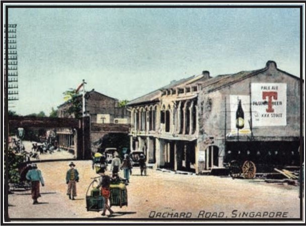
From the Singapore terminus, the train went through a cutting between Tank Road and Oxley Road, and then up an incline so as to cross Orchard Road on an overhead bridge near the Cold Storage premises (now Centrepoint). Further travel on another railway cutting would lead the train to Newton Road, and then to Newton Station, having crossed over Bukit Timah Canal on a girder bridge. The stations along Bukit Timah Canal in its journey consisted of Cluny Road Station, Holland Road Station and Bukit Timah Station, before turning about 120 degrees towards Bukit Panjang and Woodlands stations. In January 1907, the line was extended to Pasir Panjang via Pulau Saigon Station (and connecting the Singapore River trade), Tanjong Pagar Station, and then Pasir Panjang Station opposite Alexandra Road. However, this stretch of the railway was subsequently removed between 1912–14, partly due to complaints of excessive noise by residents who lived within the vicinity of the line. Duxton Plain Park, running from New Bridge Road to Yan Kit Road and thus designated after the removal of the tracks, is the linear landscape reminder of this phase of history.5
Part of the early railway legacy involved the former house of Tan Yeok Nee (presently the Asian campus for the University of Chicago Booth School of Business) at the junction of the Penang and Clemenceau roads. Tan, a very successful gambier and pepper merchant, built one of the four (and the only one existing) overseas Chinese courtyard houses there from 1885, moving into the house upon completion.6 However, as the railway line was designed to pass behind his stately home, the land was acquired and Tan moved back to China, dying there in 1902. The house was subsequently occupied by the Station Master of the Tank Road Station, and then by a bishop, before the Salvation Army used it as its headquarters from 1939 onwards.
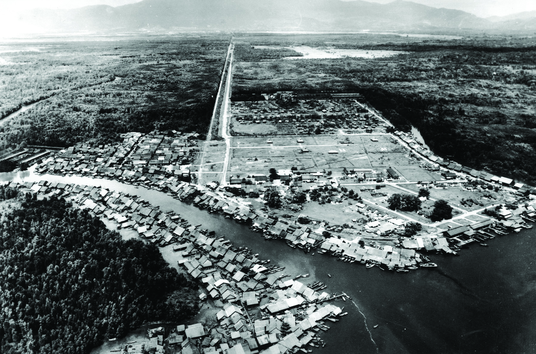
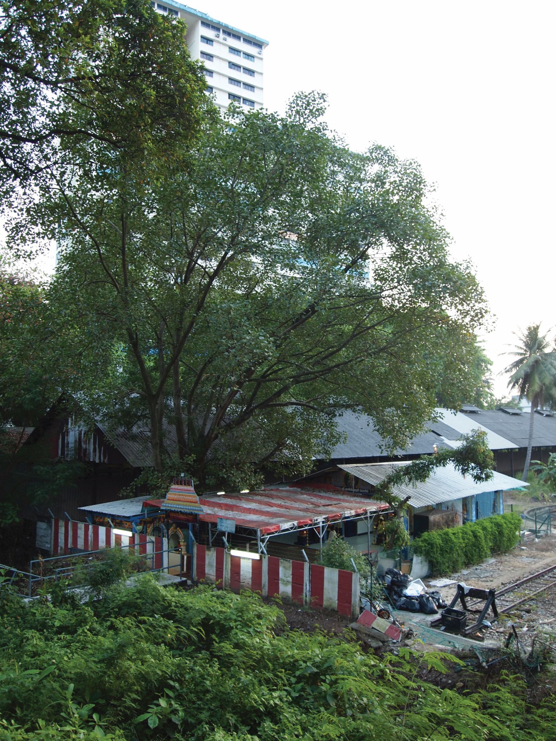
With the opening of the Segamat to Johor Bahru stretch on July 1909, continuous travel from Singapore to Penang using only public transport was made possible for the first time in Malayan history. Such a connection was also perceived to be readjusting the colonial economic focus from tin to rubber by providing the key infrastructure serving the plantations along that route, but at the same time with the hope of reviving the latter industry that had since fallen into decline. In terms of economic geography on the Malay Peninsula, this also represented a shift from prior reliance on rivers and port cities, to an inland one where plantation towns along the railway and road systems began to thrive.7 The reliance on Tamil labour for operating railways and maintaining these lines had also continued in Singapore from Malaya, and Hindu shrines are often found at intervals of roughly 16 miles, which was the distance under the care of a particular section.8
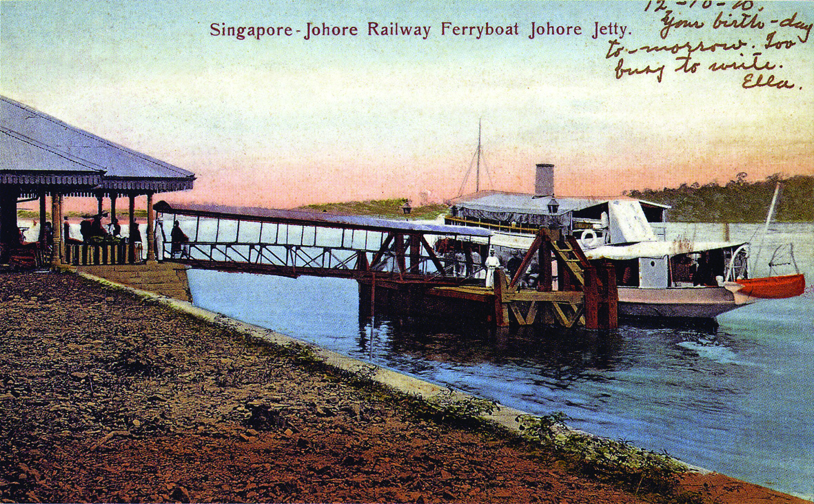
The provision of two steam ferries, named “Johore” and “Singapore”, to connect the straits had other social impacts for those on the island. Folks from Singapore would crowd the trains, especially on weekends, to travel to the new Woodlands Station and onwards to Johor Bahru for excursions and day trips.9 For most, however, it was an opportunity to change one’s fortune at the gambling farms there. As an “Old Timer” reminisced in 1925 about his earlier visits: “The Chinese at the gambling farms always refunded the two dollars spent on train fare, if the return ticket was produced. We kept both the tickets, the white half and the yellow half.”10 Such offers lured many to the farms and the newspapers of the day were replete with accounts of lost heirlooms and economic consequences for men and women involved in what was considered a “social ill”.
Integration with Johor and Keppel Harbour
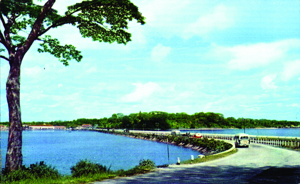
On 17 September 1923, the kilometre-long Causeway land bridge linking the island to the peninsula was opened for freight trains. The two-track railway line and a 26-foot vehicular roadway started catering for passenger trains on 1 October later in the year. This marked the southernmost direct connection in Malaya’s railway system under the Federated Malay States Railway (FMSR), since the management of the Singapore–Kranji Railway came under its fold in 1912. With the Causeway in operation, the ferry service was discontinued.
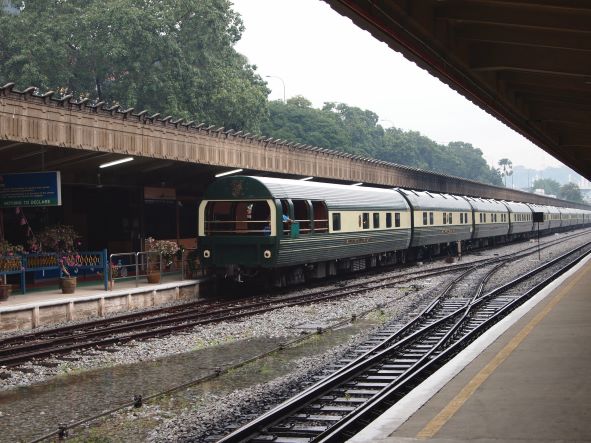
For peninsular Malaya, the creation of the Federated Malay States in 1896 and the FMSR in Malaya marked the second phase of railway development. During the preceding decade, the first two lines connecting tin mining areas to towns on the western coast of Malaya were constructed to transport tin: the Taiping–Port Weld line in 1885 and the Kuala Lumpur–Klang line in 1886. Subsequently, several train lines and systems were built, primarily to serve the colonial economy. By 1896, the FMSR joined up and consolidated all four earlier constructed lines and expanded its services across Perak, Selangor, Negri Sembilan and Province Wellesley. It was subsequently able to build in the Unfederated Malay States such as Perlis, Kedah, Kelantan and Johor, and connected with the Thai system in the north.11 The FMSR purchased the Singapore–Kranji Railway in 1913, and in 1918 the properties and estates previously owned by the latter were sold to the Federated Malay States government for $4,136,000.
Meanwhile, the Singapore–Kranji Railway was beset by inconveniences caused by seasonal heavy rainfall that occasionally flooded Bukit Timah Road, from as early as October 1903. To appreciate the severity and impact of such floods, we may revisit accounts in past newspapers that reported the list of stations and even long stretches of roads that had to be closed due to the floods. The Straits Times reported on 7 February 1910: “Early yesterday morning, the water had approached very near to the level of the platform [of the Bukit Timah Station] and the surrounding roads were more than waist-deep… The train crawled very cautiously through Newton Station where the water was within measurable distance of the carriage floors and continued at the same gait until Cluny Station, the track being submerged all the way.”
The reportage of flash and seasonal floods affecting the system continued well into the 1910s and 1920s. One particularly bad flood in early January 1926 led to washouts of the line between Woodlands and Bukit Panjang, as well as between Bukit Timah and Newton, forcing travellers to make their way to Johor Bahru in order to catch the train service. The obstruction of the Bukit Timah Canal flow by the railway girder bridge structure at Newton during this particular flood highlighted the oft-repeated charge that it was a major cause of the floods, leading to legislative action to redirect the railway line stretch between Bukit Timah to the planned new terminus at Tanjong Pagar.12 The subsequent nine-mile “deviation” was drawn up, chiefly to cease travel along the flood-prone Bukit Timah Road altogether. A new Bukit Timah Station was constructed on high ground at King Albert Park, and the canal and road at Bukit Timah crossed over by a 150-foot railway bridge before connecting to the old Bukit Panjang and Woodlands Stations.
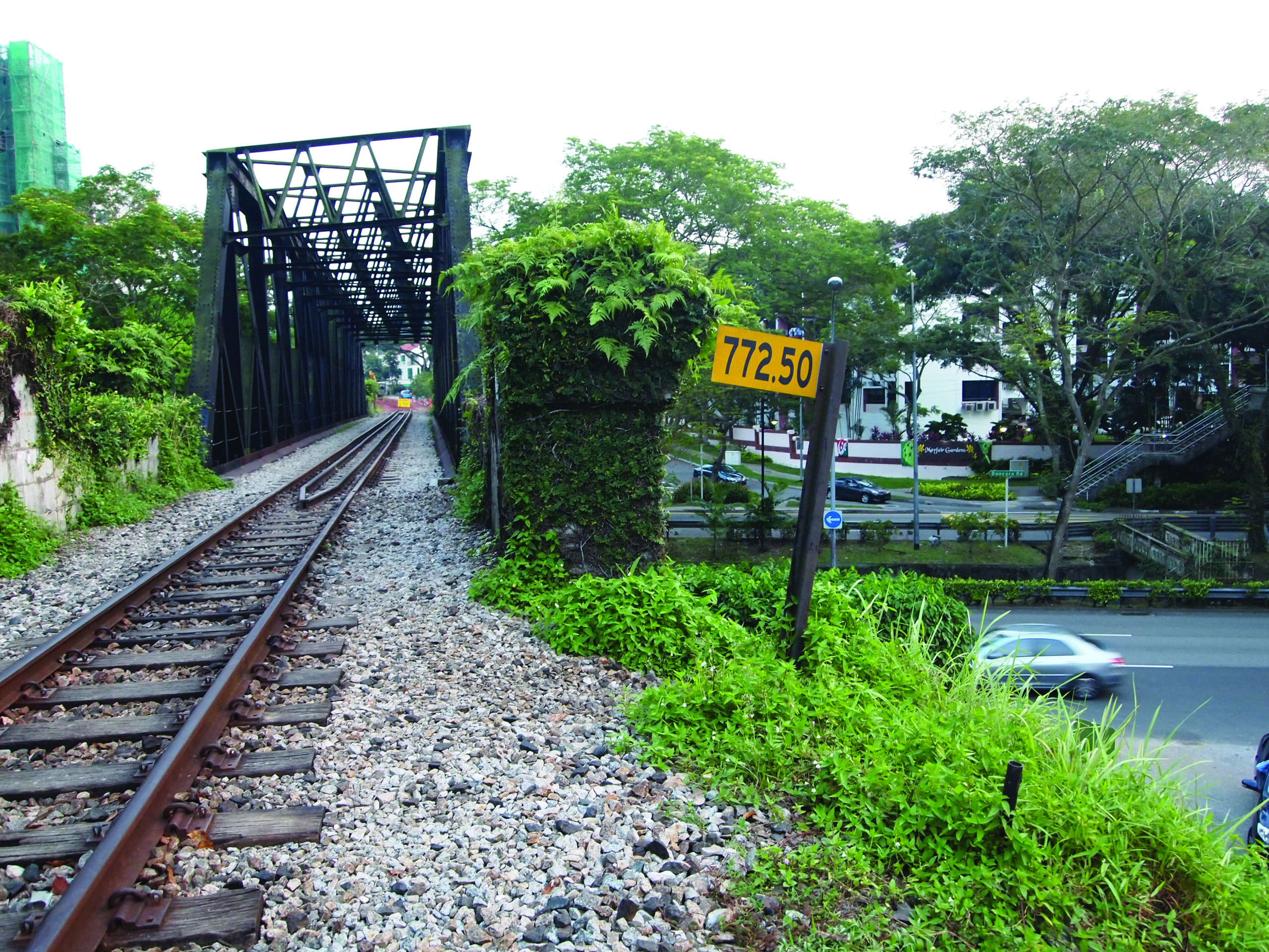
The deviation had two new stops: from Bukit Timah, trains passed Tanglin Halt and Alexandra Halt before travelling past the Kampong Bahru area towards Tanjong Pagar Railway Station, the new terminus. The new Bukit Timah Station, a linear brick building, with the waiting area sandwiched between the equipment room and Station Master’s Office, was built with facilities to handle arriving horses by train for onward transfer to the (then) new Race Course nearby. The Bukit Timah Railway Bridge adjacent to it would eventually serve as a reminder of the massive efforts to avoid the Bukit Timah Canal during the railway’s earlier history. When the Tank Road–Bukit Timah line was dismantled in favour of the new route around 1936–37, stretches of the railway track became vehicular roads, including Clemenceau Avenue, which was the former rail land between Tank Road to Newton Circus. Dunearn Road was created over former railway track areas from Newton Circus to the junction of Clementi Road.
The proposed southernmost destination of Tanjong Pagar in Singapore for the new deviation was also planned in tandem with the increasing importance of Keppel Harbour. In some ways, these harked back to the earlier 1907 track that connected the harbour, as well as the earliest (but unsuccessful) call by the Tanjong Pagar Dock Company in the mid-1860s to connect Pantai Chermin to Telok Ayer Market by rail.13 About a thousand acres of land was acquired for the deviation and the railway terminus, included lines, a passenger station, goods yards, train yards, signal stations and staff quarters at Tanjong Pagar. The Railway Board, working with the Municipality and other agencies, detailed the design brief of the station and eventually awarded the contract to Swan and Maclaren Architects at the end of 1926.14 In the following year, H.C. Atkin-Berry, the architect partner-in-charge, made visits to study several railway stations in England. Construction commenced on 7 May 1929; by August 1931 over 630 concrete piles had been driven into the site. The building had mostly been completed by 1932 and the Singapore Trade Exhibition was held there in January the same year.
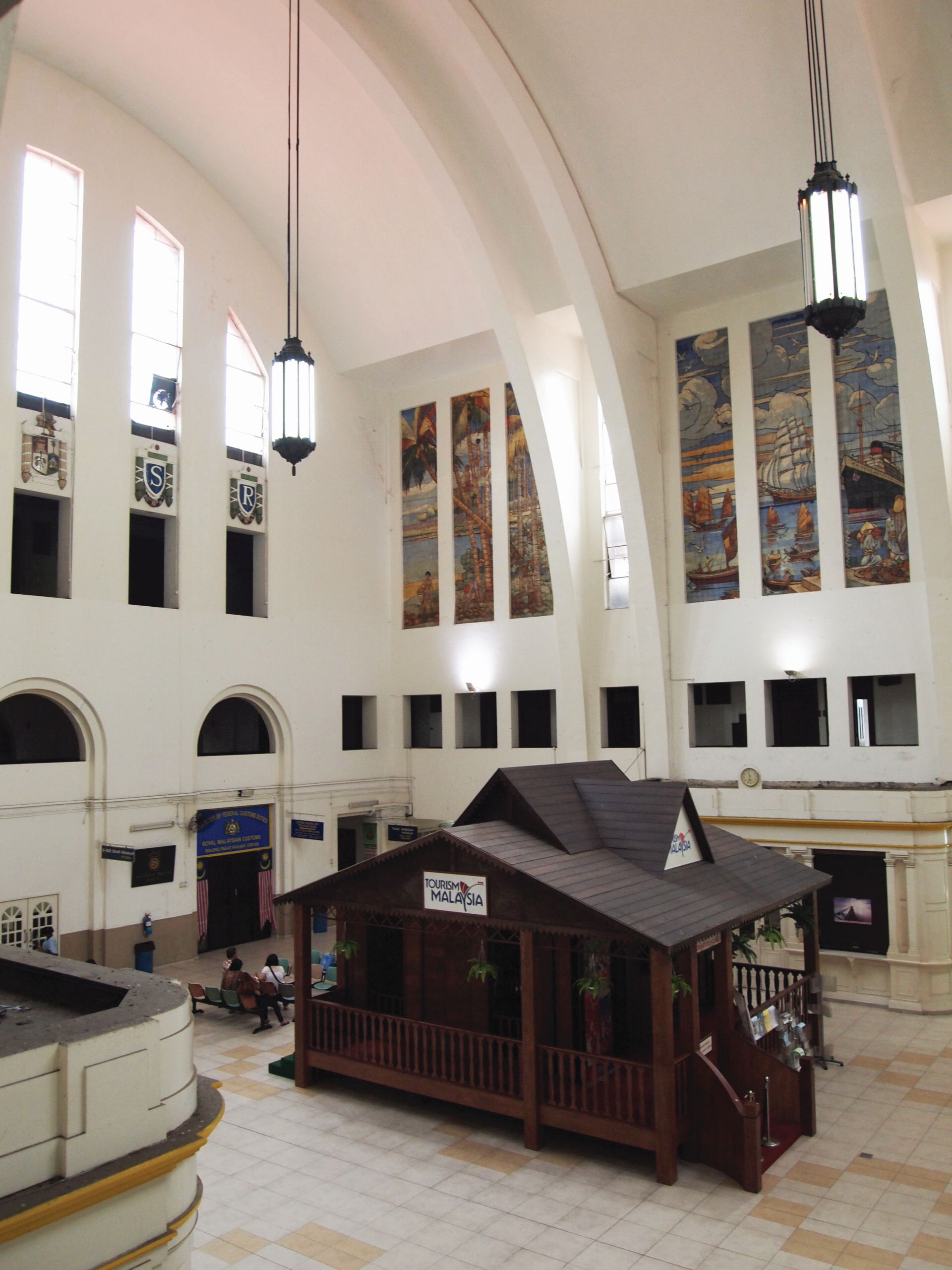
D.S. Petrovich, the main architect of the station building, was born in Serbia (then Yugoslavia) and had joined Swan and Maclaren in 1928 after having registered with the Royal Institute of British Architects in 1926.15 He designed various notable buildings during his tenure at that office, including the Malayan Motor Building at Orchard Road, the Kelly & Walsh Building at Raffles Place, and others on the island or elsewhere in Malaya. The station building itself was a major engineering feat of the day, employing the (then new) advantages of reinforced concrete in creating a 72-foot-high giant barrel vault that is also naturally ventilated and illuminated in the day, which sheltered the central arrival/departure hall. On three sides of this rough square plan were the entrance portico, a two-storey rectilinear office block facing Keppel Road, and the 950-foot-long covered platforms, respectively. The architecture of the building may be said to have followed the tenets of Art Deco, which employs elegant geometric forms or modules as design principles.
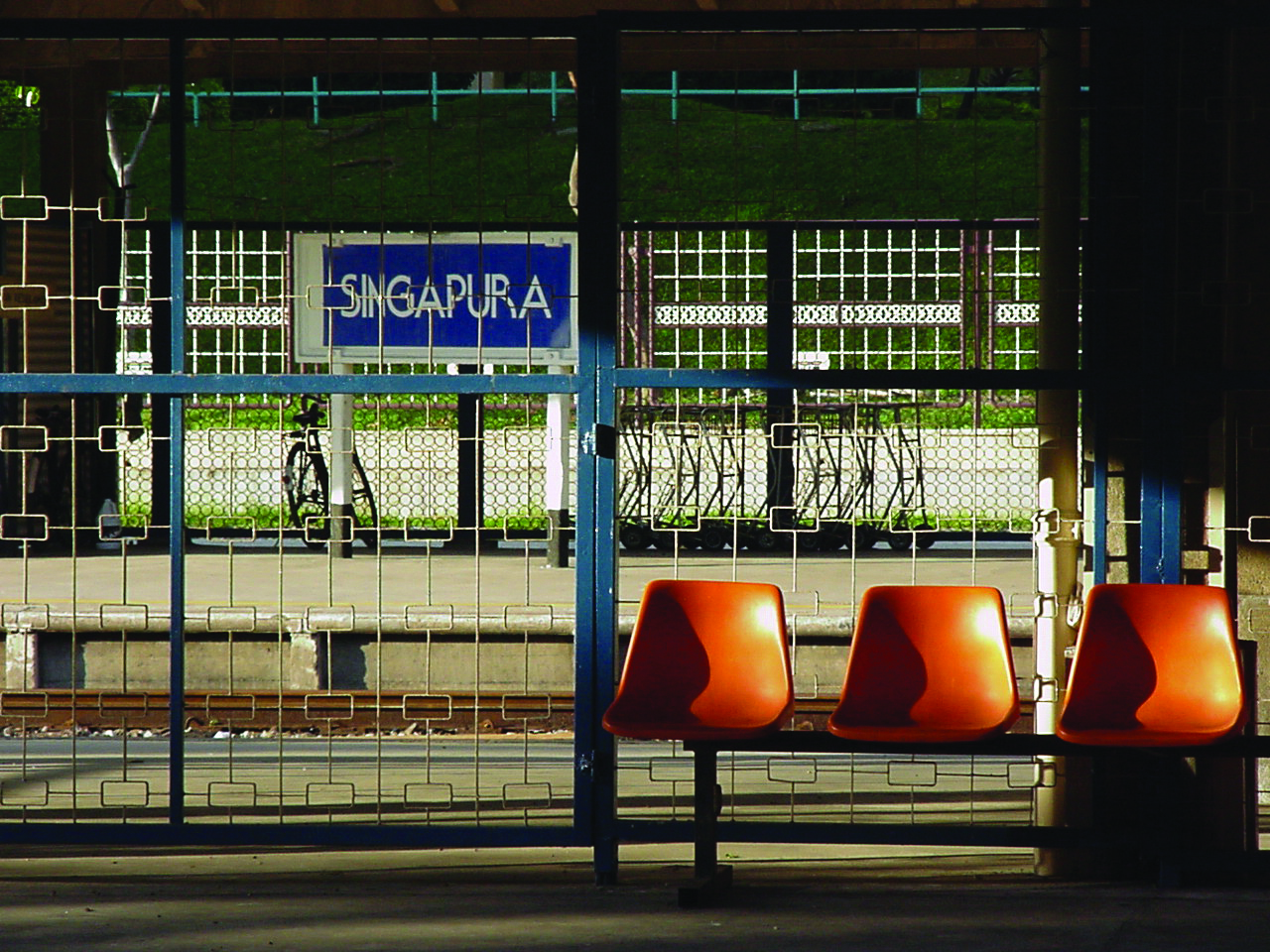
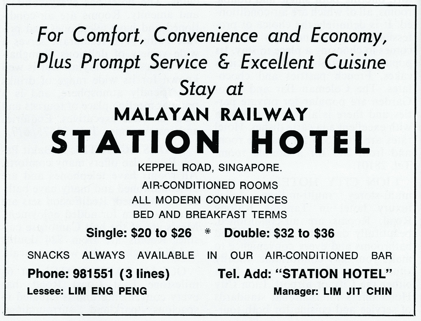
Around the central hall of the station were waiting rooms, a post office with telegraph facilities, restaurant, bar, hairdressing saloon, lavatories and left luggage services. The ticketing counter near the entrance as well as the book and magazine stall opposite were constructed with solid teak. The ground level was originally covered with rubber floor tiles. Suspended by four cables from the ceiling of the vaulted space just below two suspended box-lights of similar design was a four-faced bronze clock. On the upper two levels was a 34-room station hotel with the walkway facing the hall.16 The hotel, with single and double rooms, was one of the only three FMSR hotels, the others being in Kuala Lumpur (1910) and Ipoh (1915). These facilitated travellers who stopped over in the city before journeying further, and included transfers to passenger liners or boats docked at Keppel Harbour.
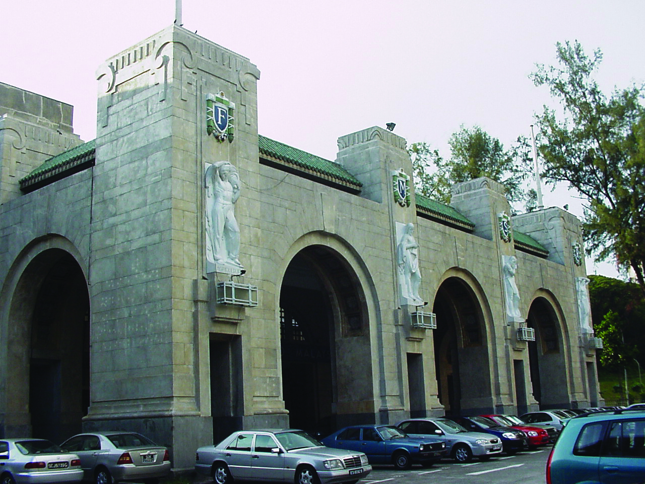
The reinforced concrete of the station was finished with sand-faced plaster (also known as Shanghai plaster). The entrance portico facing the car park is formed by three arches framed by four pylons, and one arch each on its remaining two sides. Below the four crests bearing the letters “F”, “M”, “S” and “R” at the top end of the pylons are four allegorical statues in white Carrara marble sculpted by Angelo Vannetti from the studios of Raoul Bigazzi of Florence.17 Each statue represented the pillars of the colonial Malayan economy: agriculture, commerce, transport and industry. This theme is continued and accentuated inside the hall, with an opposite set of vertical walls tiled with six triptych murals illustrating rubber tapping, rice planting, tin mining, copra growing, shipping activities and transportation.18 The last two also highlight the adjacent relationship established between the station and the harbour at Tanjong Pagar. The station, along with the deviation of the rail lines, was opened on 2 May 1932 by Governor Cecil Clementi, who had travelled on the new stretch on a special train to the station before addressing an audience at the main hall.19
The Jurong Branch Line
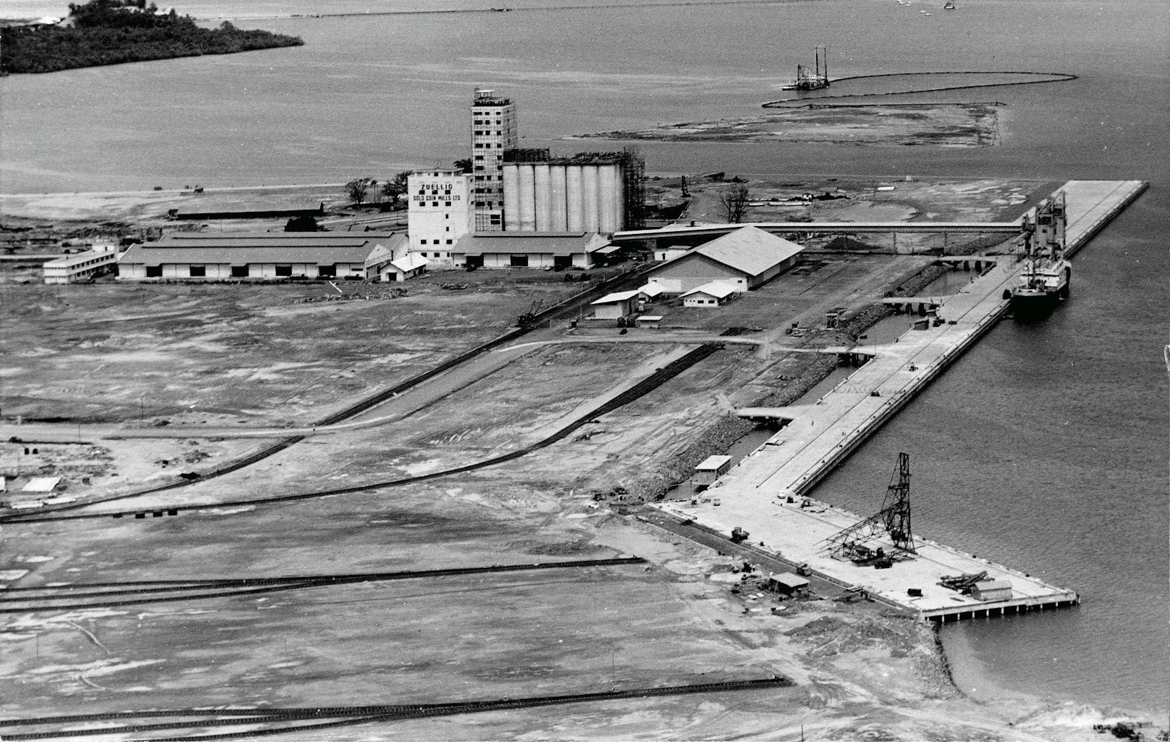
The third period of railway history began just before the merging of Malaya, Singapore, Sarawak and North Borneo (later as Sabah) in 1963 to form a fledgling postwar economy as the then geobody of Malaysia. The promise of an interconnected economy was vested in the creation of several industrial estates, including Petaling Jaya near Kuala Lumpur and Jurong in Singapore. The planning of Jurong had commenced earlier in the 50s and 60s with survey missions from Japan and the United Nations, before the creation of the Economic Development Board to tend to such propositions. Jurong Industrial Estate was designed with three zones in mind: “heavy industries, which included shipyards and port facilities, at the reclaimed coastal areas; medium industries behind the coastal land strip; and light industries further north.”
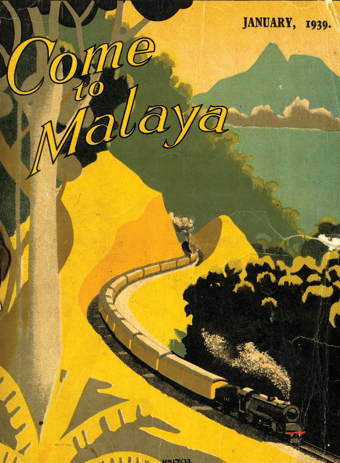
The envisioning of Jurong as the primary industrial estate of Singapore by the late Goh Keng Swee, then Finance Minister, was based on several factors: its proximity to the sea, the ease of transporting raw materials, and because the land was mainly rural and state-owned. There was resettlement of various orchards and farmlands occupying Jurong before the adjacent hills could be cut down to fill swamps for reclamation purposes. The concept of Jurong was, however, a novel one as it was going to be developed as a “garden industrial town” which carried a different theoretical and operational basis from earlier “garden city” concepts that dealt with the binary sectors of work and residence. Swampy areas on the banks of the Jurong River were marked as nature reserves such as the Pandan Nature Reserve, and large swathes of land were developed into recreational parks or places of interest: Jurong Bird Park, Chinese Garden and Japanese Garden. Residential estates were also designed and named as gardens: Taman Jurong, Teban Gardens, and Pandan Gardens, etc.20
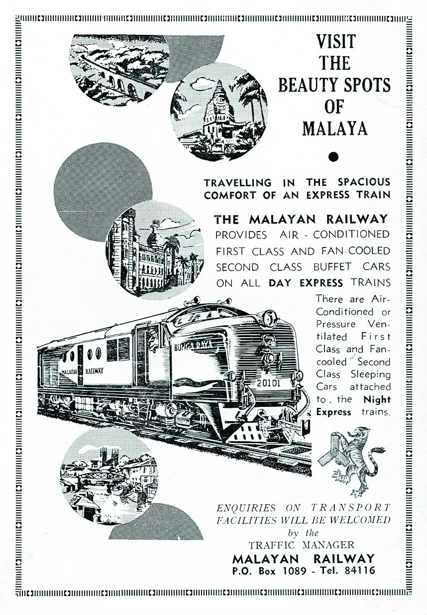
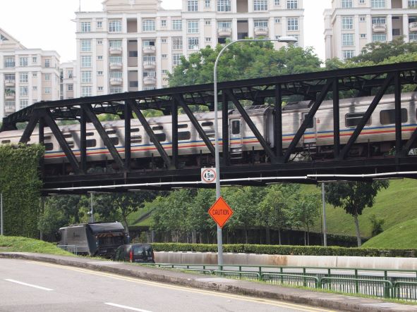
Besides roads as transportation routes from Jurong to the city, the planned Jurong Branch Railway line would also connect it to Bukit Timah Station and the previous colonial rail network for an imagined demand-and-supply market in peninsular Malaysia and as far north as southern Thailand. The Malayan Railway Berhad Company (or Keretapi Tanah Melayu) was tasked with the construction and maintenance of the 24-kilometre, $5.5-million rail project. The line opened on 4 March 1966 and stretches were maintained right up to the 1990s. As Singapore had separated politically from Malaysia in 1965 after just two years, the anticipated traffic volume to be conveyed on this line was not fulfilled. The band of land on both the Jurong and the existing lines thus came under the rubric of “Malaysian” land right up till February 2010.
With the government announcements last year, the future of the lines and stations in Singapore entered a new phase that had also been evolving since World War II. Postwar, the Malayan Railway Ordinance of 1948 had seen the management of the railways transferred from the FMSR to the postwar Malayan Railway Administration, and later to Keretapi Tanah Melayu Berhad (KTM). Under the Malaysian Railway Act of 1991, the KTM was corporatised the following year and wholly owned by the Malaysian government. The Malaysia–Singapore Points of Agreement of 1990 had been signed by representatives of both countries to settle all issues related to the railway and its stations, but it is only two decades later that the resolution of those points in relation to both parties was finally made.
Assistant Professor
Department of Architecture
National University of Singapore
REFERENCES
Alias Mohamed. (Ed.). (1985). Malayan railway: 100 years 1885–1985. Kuala Lumpur: AMW Communications Management. (Call no.: RSING 385.095951 MAL)
Chua, B.H., & Edwards, N. (Eds.). (1992). Public space: Design, use and management. Singapore: Singapore University Press. (Call no.: RSING 711.4095957 PUB)
Clothey, F.W. (2006). Ritualizing on the boundaries: Continuity and innovation in the Tamil diaspora. Columbia: University of Southern California Press. (Call no.: RSING 305.894811 CLO)
Federated Malay States Railway. (1935). Fifty years of railways in Malaya 1885–1935. [Kuala Lumpur: Karl, Palmer and Co.]. (Call no.: RRARE q385.09595 FED; Microfilm no.: NL25928)
Gill, S. (2006). Guide to the murals at the Tanjong Pagar railway station, Singapore = Panduan kepada mural-mural di Stesen Keretapi Tanjong Pagar, Singapura. Singapore: Simryn Gill and Singapore Biennale. (Call no.: RSING 725.31095957 GIL)
Kaur, A. (1985). Bridge and barrier: Transport and communication in colonial Malaya 1870–1957. Singapore: Oxford University Press. (Call no.: RSING 380.309595 KAU)
Lee, G.B. (Ed.). (1989). Tanjong Pagar: Singapore’s cradle of development. Singapore: Tanjong Pagar Citizens’ Consultative Committee. (Call no.: RSING 959.57 TAN-[HIS])
Lim, J.S.H. (Ed.). (2001). Transforming traditions: Architecture in the ASEAN countries: Brunei, Malaysia, Indonesia, Philippines, Singapore, Thailand. Singapore: ASEAN Committee on Culture and Information. (Call no.: RSING q720.95 TRA)
Lim, P.P.H. (2009). Through the eyes of the king: The travels of King Chulalongkorn to Malaya. Singapore: Institute of Southeast Asian Studies. (Call no.: RSING 959.3035092 LIM)
Sandhu, K.S. (1969). Indians in Malaya: Some aspects of their immigration and settlement (1786–1957). Cambridge: Cambridge University Press. (Call no.: RSEA 325.25409595 SAN)
Song, O.S. (1923). One hundred years’ history of the Chinese in Singapore. London: John Murray. Retrieved from BookSG.
Tan, M.S.H. (2008). The making of a garden industrial town: History, transformations, memories and identity of Jurong [Unpublished Masters dissertation, Department of Architecture, National University of Singapore].
NOTES
-
The account has been “brewing” in my wishlist of “kajian” for several years, and I would like to thank Yeo Kang Shua who shared an opportunity with me to research these railway histories more thoroughly, and to Ian Tan for helping me document the Sri Pambatthi Sitthar Temple at Clementi. ↩
-
Federated Malay States Railway. (1935). Fifty years of railways in Malaya 1885–1935, p. 19. The Tank Road station was opposite where the Teochew Building is. Besides this line, there was a five-mile Naval Base Railway running from Kranji to the Naval Base, and a four–mile Changi Railway built for Singapore’s War Department. These two lines have been largely expunged. C.F. Spooner, the railway engineer responsible for the line’s construction, is commemorated with a road name near the Tanjong Pagar Railway Station. ↩
-
Only two daily train services travelled the entire distance from Tank Road to Woodlands and back, the 7 am and the 3:40 pm leaving Tank Road Station, as the rest of the train servies (7:45 am, 10 am, 11:30 am, 12:32 pm, 1:55 pm, 4:15 pm and 6:40 pm) terminated at Bukit Timah Station. On Sundays, the 11:30 am train travelled to Woodlands and back. ↩
-
The Bukit Panjang Station, however, appeared to be slightly different but is expressed as a linear building. ↩
-
See John Miksic. (1989). “Archaeology in the city: Digging at Duxton Hill”, in Tanjong Pagar: Singapore’s Cradle of Development, p. 35; see also Kenson Kwok. (1992). “Duxton Plain: Perceptual analysis of an open space,” in Public space: Design, use and management, pp. 82–103. ↩
-
His other name was Tan Hiok Nee. The other houses were the one for Tan Seng Poh at the junction of Hill Street and Loke Yew Stree, one for Seah Cheo Seah at Boat Quay, and one for Wee Ah Hood where the Chinese Chamber of Commerce now stands. See Song, O.S., One hundred years’ history of the Chinese in Singapore, pp. 335–336. ↩
-
This point was made by Khoo Kay Khim in “Railway and the Decline of Traditional Ports on the Western Coast on the Peninsula,” in Alias Mohamed (Ed.), Malayan railway: 100 years 1885–1985, pp. 67–79. The ports in Penang, Port Swettenham and Port Dickson remained important during this transition stage. ↩
-
Sandhu, Indians in Malaya, pp. 283–299; Clothey, Ritualizing on the Boundaries, pp. 58–77. ↩
-
One of the notables who made such a day trip was King Chulalongkorn of Thailand, who in April 1907 visited the Sultan of Johor after a train and ferry ride, but was still able to return to his Singapore hotel on the same day. Patricia Lim, Through the Eyes of the King, pp. 135–143. ↩
-
The Straits Times, 26 December 1948, p. 2. The situation of casinos funding transport seems to have now been reversed with the building of two in Singapore and with companies such as Five Star travel providing inexpensive travel from Johorean cities to Resort World Sentosa. ↩
-
For an elaboration of this expansion, see Amarjit Kaur’s Bridge and Barrier: Transport and Communication in Colonial Malaya 1870–1957. Another line branched off from Gemas to reach Kelantan to terminate at Tumpat. ↩
-
The Straits Times, 9 Jan 1925, p. 9; The Singapore Press and Mercantile Advertiser, 11 Oct 1926, p. 9. With the dismantling, the many level changes along Bukit Timah Canal on the future Dunearn Road side would no longer cause inconvenience to the many entrances to housing estates located along that stretch. ↩
-
See Lee Kip Lin, “Dock Development and the Growth of Singapore Town”, in Tanjong Pagar: Singapore’s Cradle of Development, pp. 51–59. ↩
-
In mid-June 1929, the Singapore Society of Architects lodged a complaint that eventually had to be resolved by the Colonial Office in London, over the fact that Swan and Maclaren were directly appointed even though a senior partner was a member of the Railway Board. This represented a conflict of interests and requested for the conduct of a formal architectural competition, which did not materialise. From CO 273/563/12, National Archives, United Kingdom. ↩
-
From Jon Lim, “Architecture of Singapore, 1819–2000,” in Transforming Traditions, pp. 196–198. Douchan Slobodov Petrovich was later appointed as a Yugoslavian Consul in Singapore in 1940. ↩
-
The running of the hotel was leased to the Lim family from 1931 onwards, and who closed the hotel in 1993 after a long-drawn legal tussle over rental conditions since the 1980s. ↩
-
Vannetti (1881–1962) was teaching at the Italian Academy of Fine Arts at Florence when he accompanied Bigazzi on a Malayan tour in 1929, possibly in relation to the railway station project. Bigazzi was a major supplier of decorative marble to Malaya, including projects such as the Lido cinema, Denmark House, the AIA Building, Cathay Hotel and the house of Eu Tong Seng. He was represented by Frankels and Co. and later by A. Clouet and Co. The Straits Times, 5 Feb 1929, p. 10. ↩
-
The murals were designed by Denis Santry, a partner of Swan and Maclaren, who also designed the Sultan Mosque. Each panel measured 25 by 3 feet, and comprised 9,000 glazed tiles in total. Separate emblems bearing the initials of the railway were also set onto the walls where there were no murals. ↩
-
Coincidentally, Cecil Clementi (1875–1947) was the nephew of Cecil Clementi Smith (1840–1916), who had in 1899 passed the plan through Legislative Council to commence the construction of the Singapore-Kranji Railway. ↩
-
For a discussion, see Michael Tan, The Making of a Garden Industrial Town, pp. 1–30. ↩


